Floor 8 · Fitness and Wellness › Hiking trip logs
Aerial Sketch Hike Log for Map Illustrators and Terrain Sketchers
| SKU | FB-08-35413719 |
|---|---|
| Format | ZIP: Markdown, PDF, PNG, SVG, TXT |
| File size | 1.0 MB |
| Delivery | Instant download, unlimited re-downloads from your account |
| Licences | Personal, Commercial, Extended |
All sales are final. Refund policy.
About this product
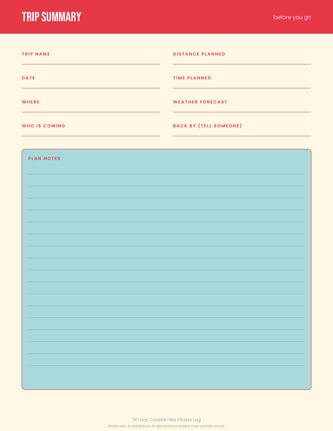
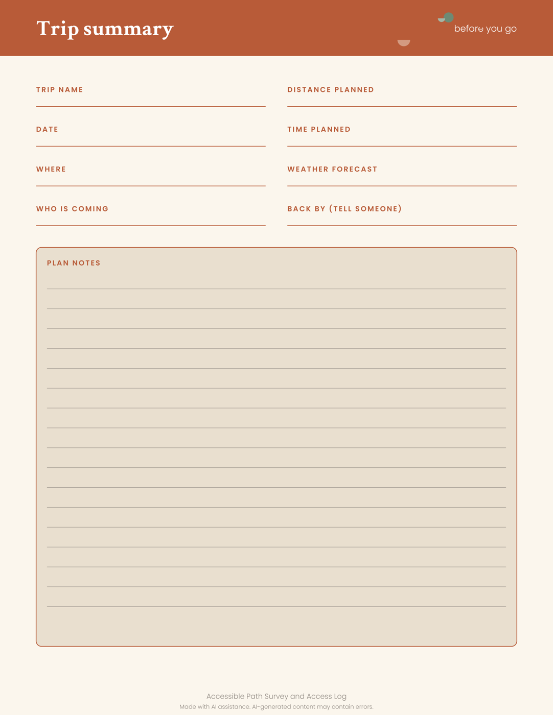
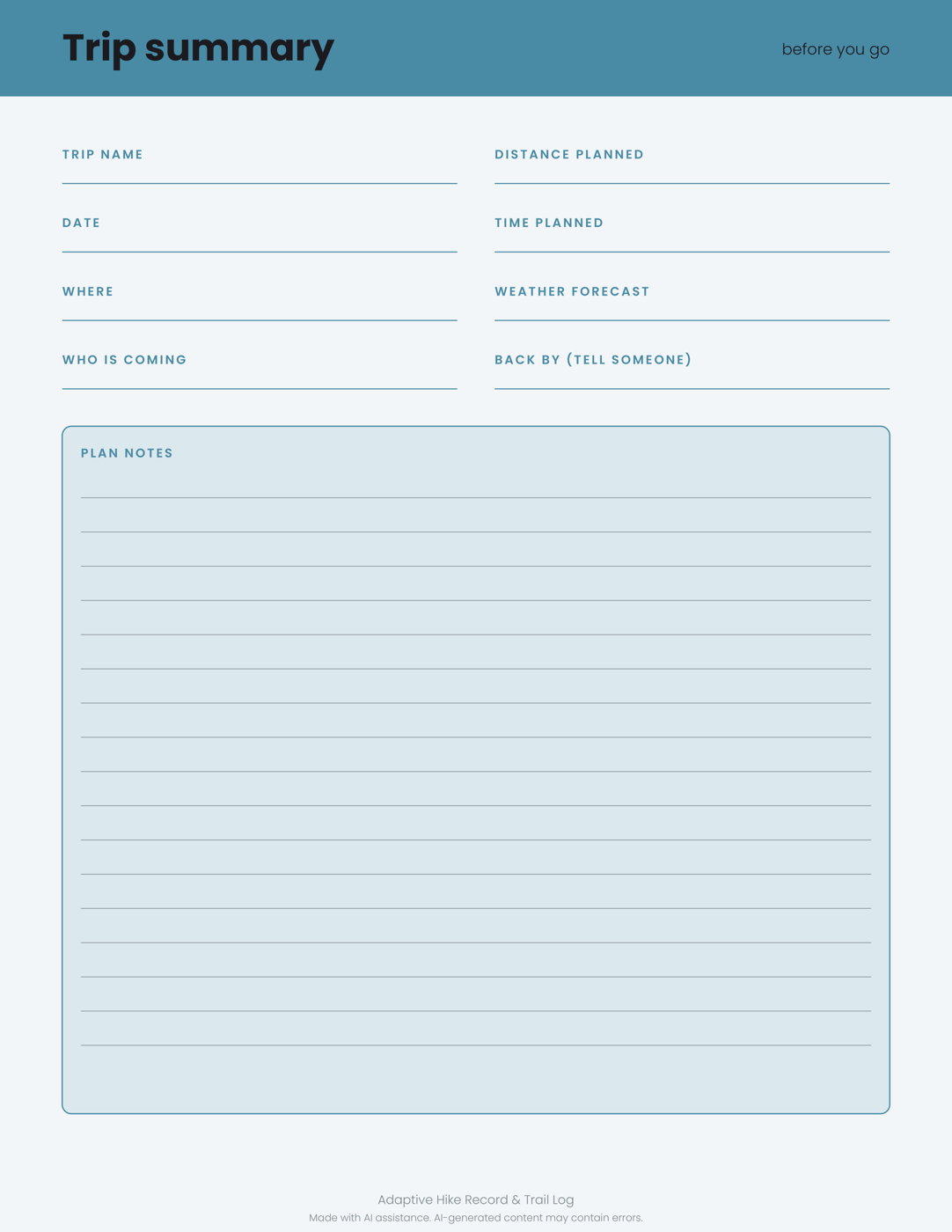
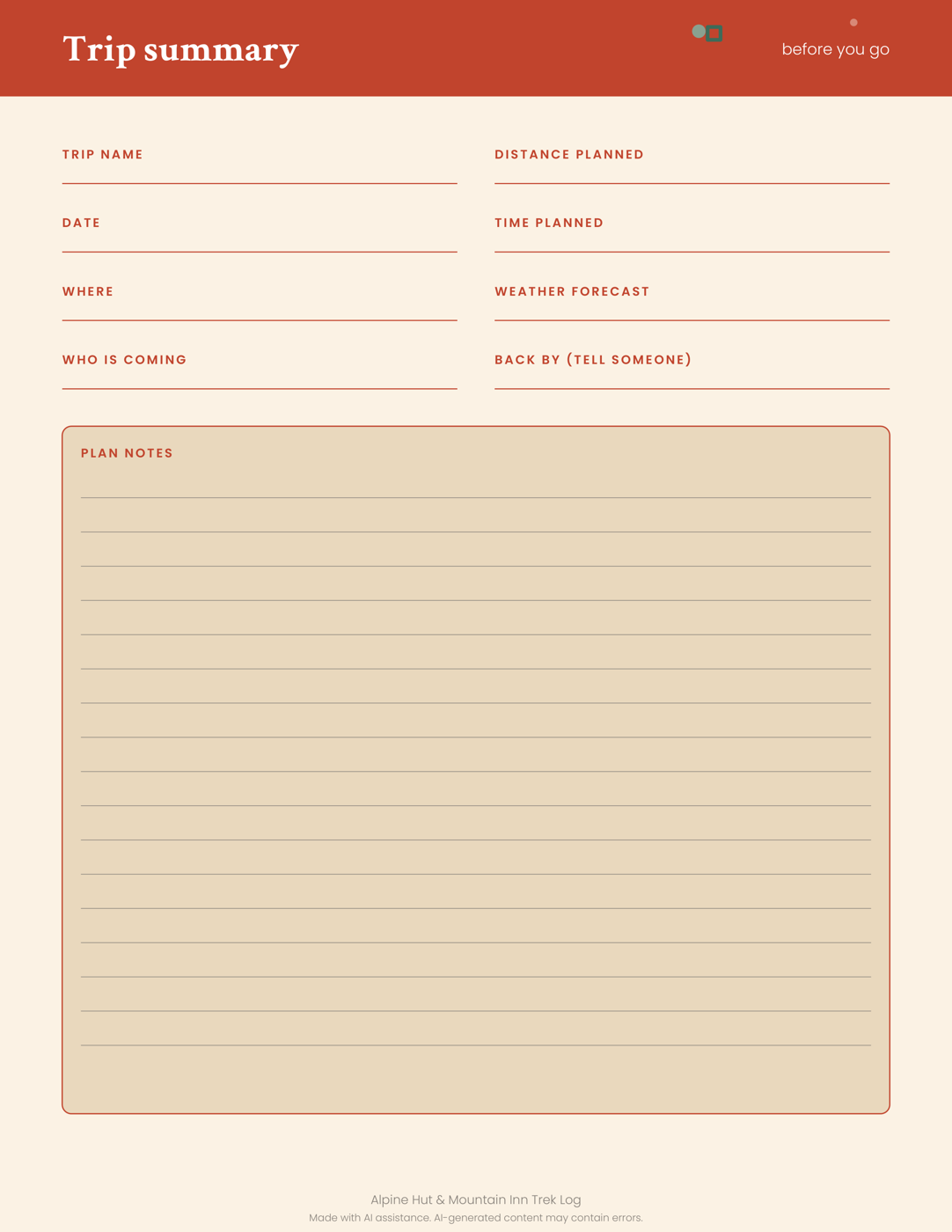
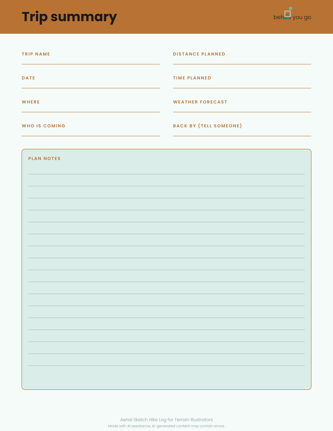
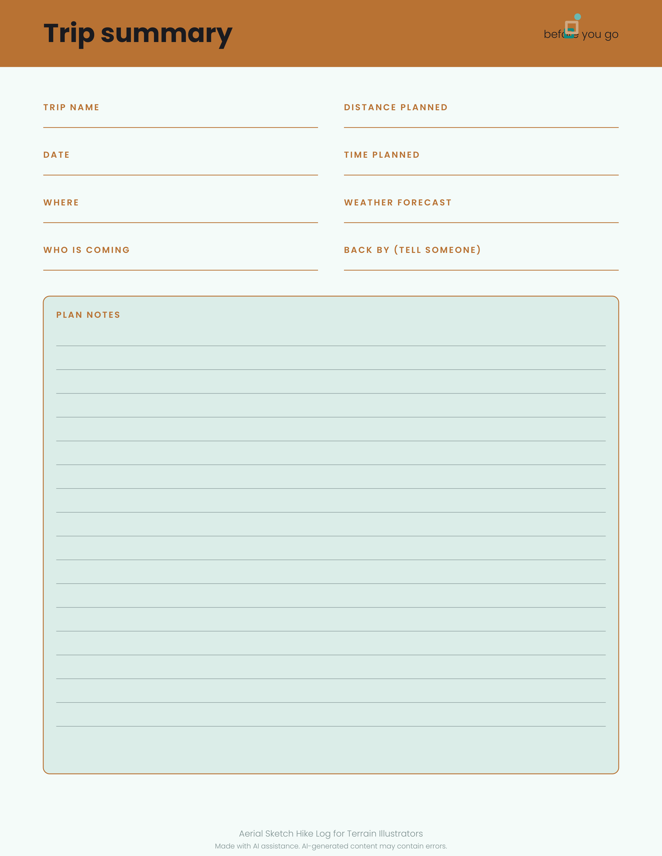
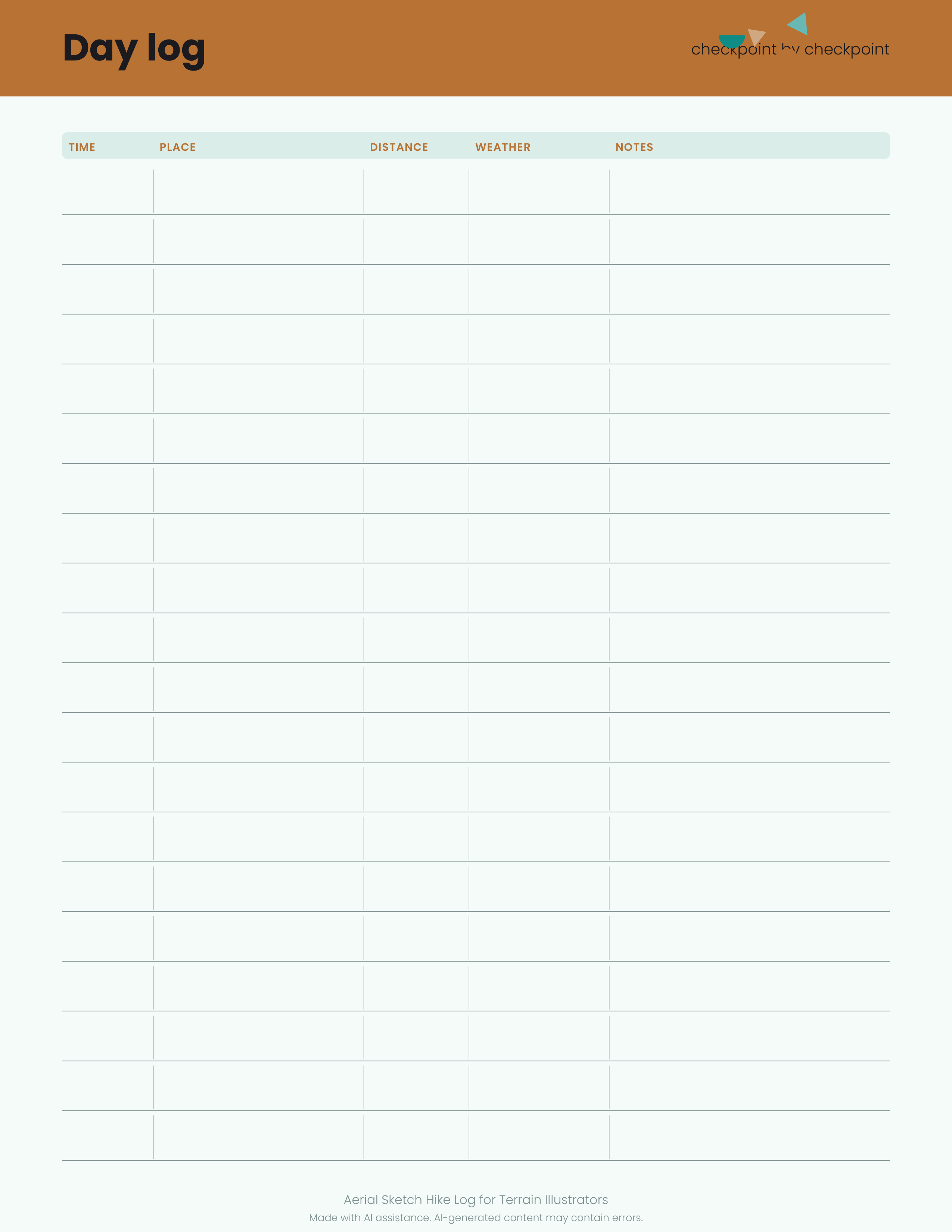
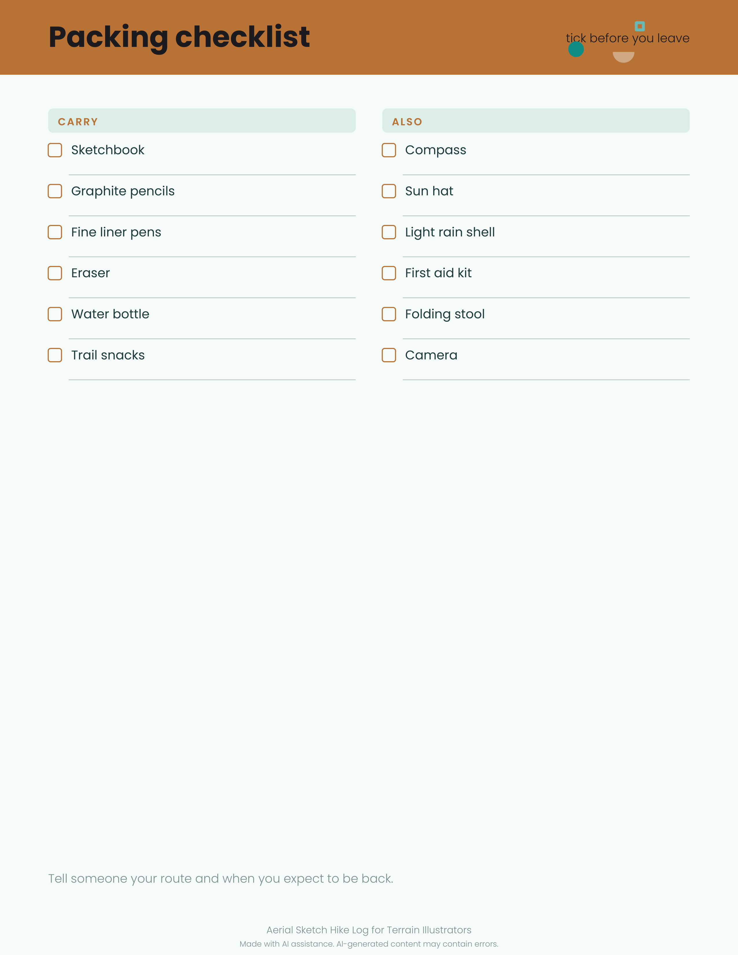
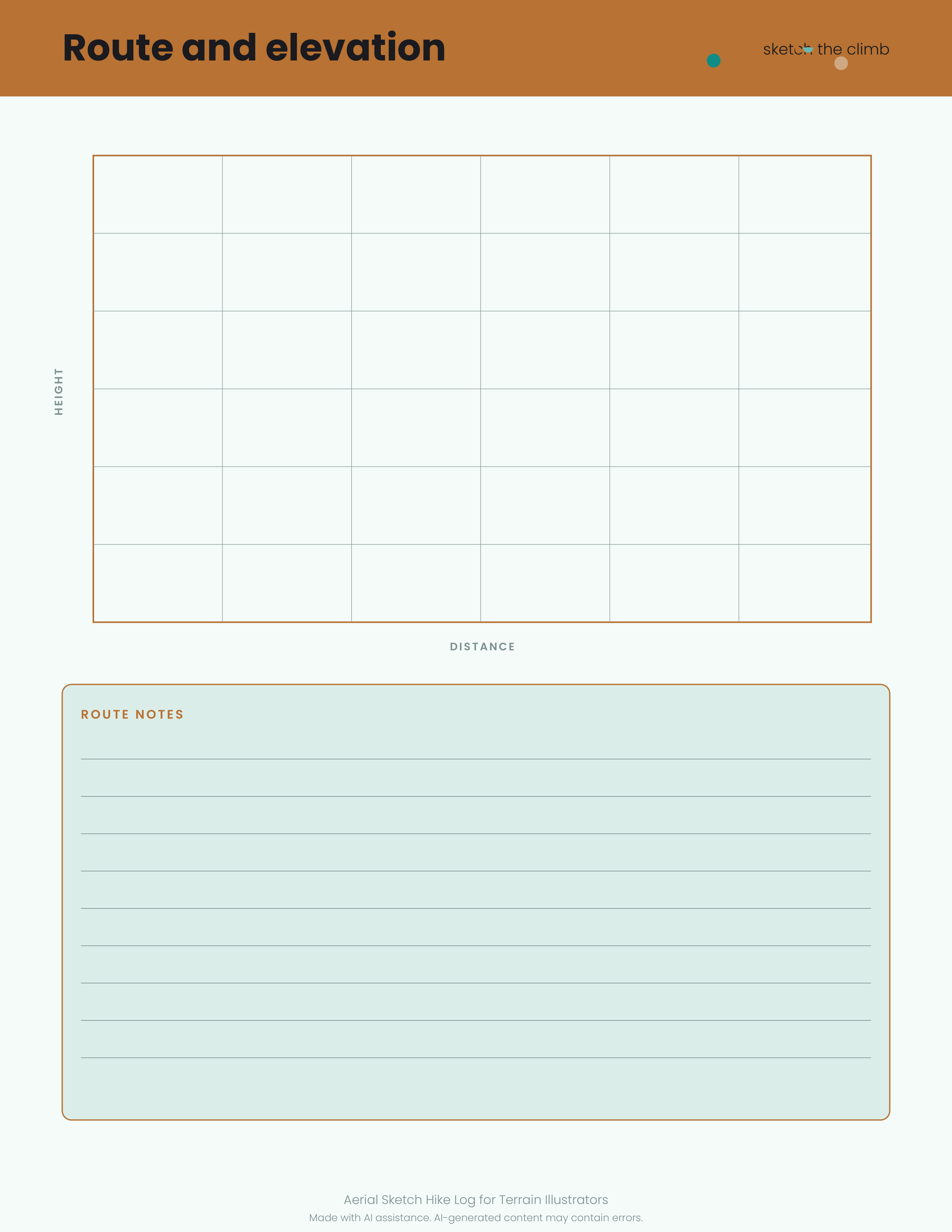
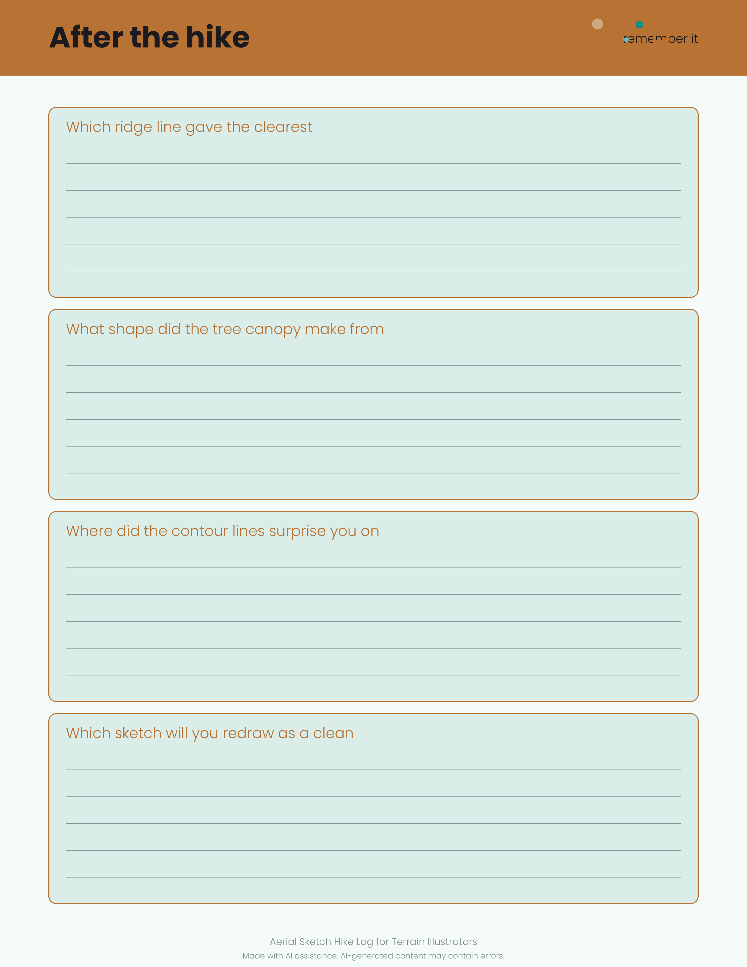
1 original sample set in PDF, PNG, SVG. A printable log for illustrators who read trails from above: trip summary, day log, packing checklist, route and elevation page, plus wildlife and photo notes. Sketch your aerial views, then refine them later. Print one per outing and build a visual record of every route. Made with AI assistance. Made for: Map illustrators and terrain sketchers. Use: Drone-free aerial-view sketch log. Style: copper and teal, fresh, youthful and energetic. You get one instant download (ZIP, 1.0 MB) with 14 usable files in Markdown, PDF, PNG, SVG, TXT.
What's included
- hiking-trip-log.pdf (PDF, 45.9 KB)
- hiking-trip-log-1.png (PNG, 96.0 KB)
- hiking-trip-log-2.png (PNG, 94.8 KB)
- hiking-trip-log-3.png (PNG, 129.2 KB)
- hiking-trip-log-4.png (PNG, 96.1 KB)
- hiking-trip-log-5.png (PNG, 116.4 KB)
- hiking-trip-log-1.svg (SVG, 7.3 KB)
- hiking-trip-log-2.svg (SVG, 19.4 KB)
- hiking-trip-log-3.svg (SVG, 10.1 KB)
- hiking-trip-log-4.svg (SVG, 6.5 KB)
- hiking-trip-log-5.svg (SVG, 7.1 KB)
- PROVENANCE.md (Markdown, 1.5 KB)
- README.txt (TXT, 302 B)
- 5 open-licence font file(s) with their licence texts (SIL OFL 1.1 / DejaVu)
- PROVENANCE.md: how every file was made
Download and use
- After payment, click your download link (on screen, in your email receipt and in your account dashboard; re-download any time).
- Unzip the file: double-click it on Windows or Mac, or tap it in the Files app on a phone.
- PDF: open in any PDF reader. To print, choose Actual size / 100% (not 'fit'), US Letter unless the page says otherwise, on matte paper or card stock.
- SVG: import into your cutting-machine software or a vector editor (Inkscape, Illustrator); each shape is a separate path, scale without losing quality.
- PNG: print at 100% or use on screen (phone/desktop wallpaper, social post, digital planner sticker).
- TXT/Markdown: open in any text editor; copy and paste the parts you need.
- Your licence tier (Personal, Commercial or Extended) is on your receipt and in your dashboard; see /license for what each allows.
Tags
hiking logsketch logmap illustratorterrain sketchaerial viewprintable journalelevation pagetrail notes